

DeWitt County Office of Emergency Management and Floodplain Administration | November 9, 2025
A strong cold front is expected to move into the region tonight, bringing extremely dangerous fire weather conditions to DeWitt County on Sunday, November 9. The National Weather Service has issued a Red Flag Warning from 9:00 AM to 9:00 PM, citing very low humidity levels (10–15%) and strong winds ranging from 15–30 mph, with gusts up to 40 mph.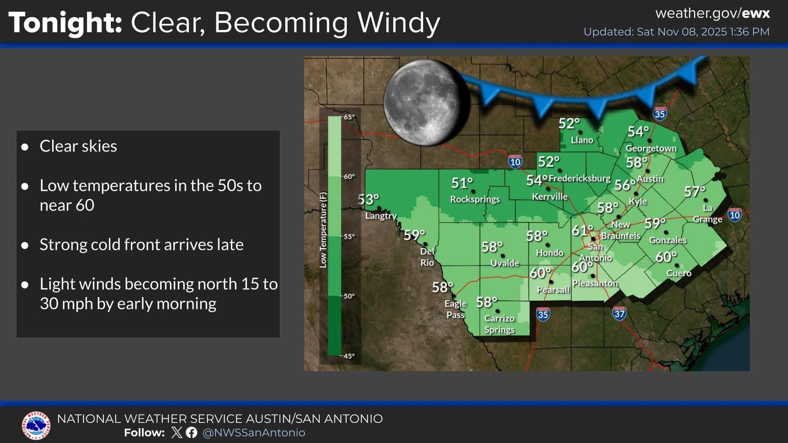
These conditions create a high risk for rapid wildfire spread. Even a small spark or ember can ignite dry vegetation and escalate into a fast-moving fire. No outdoor burning should occur under any circumstances.
Burn Ban Reminder
DeWitt County remains under an active Burn Ban, which applies to all incorporated and unincorporated areas. This includes residential, agricultural, and recreational burning. Violations may result in fines and legal action.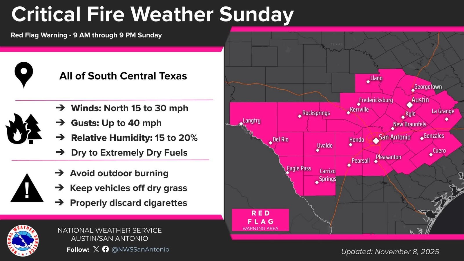
What You Can Do
- Cancel all outdoor burning plans
- Secure flammable materials around your property
- Avoid using equipment that may spark (chainsaws, welding tools, etc.)
- Report any signs of smoke or fire immediately to local authorities
Community Cooperation Is Critical
Your vigilance and cooperation are essential to protect lives, homes, property, and first responders. Please share this alert with neighbors, friends, and family throughout DeWitt County.
For updates, follow the DeWitt County Office of Emergency Management on official channels and monitor local news and weather reports. https://www.facebook.com/profile.php?id=61560901268578